
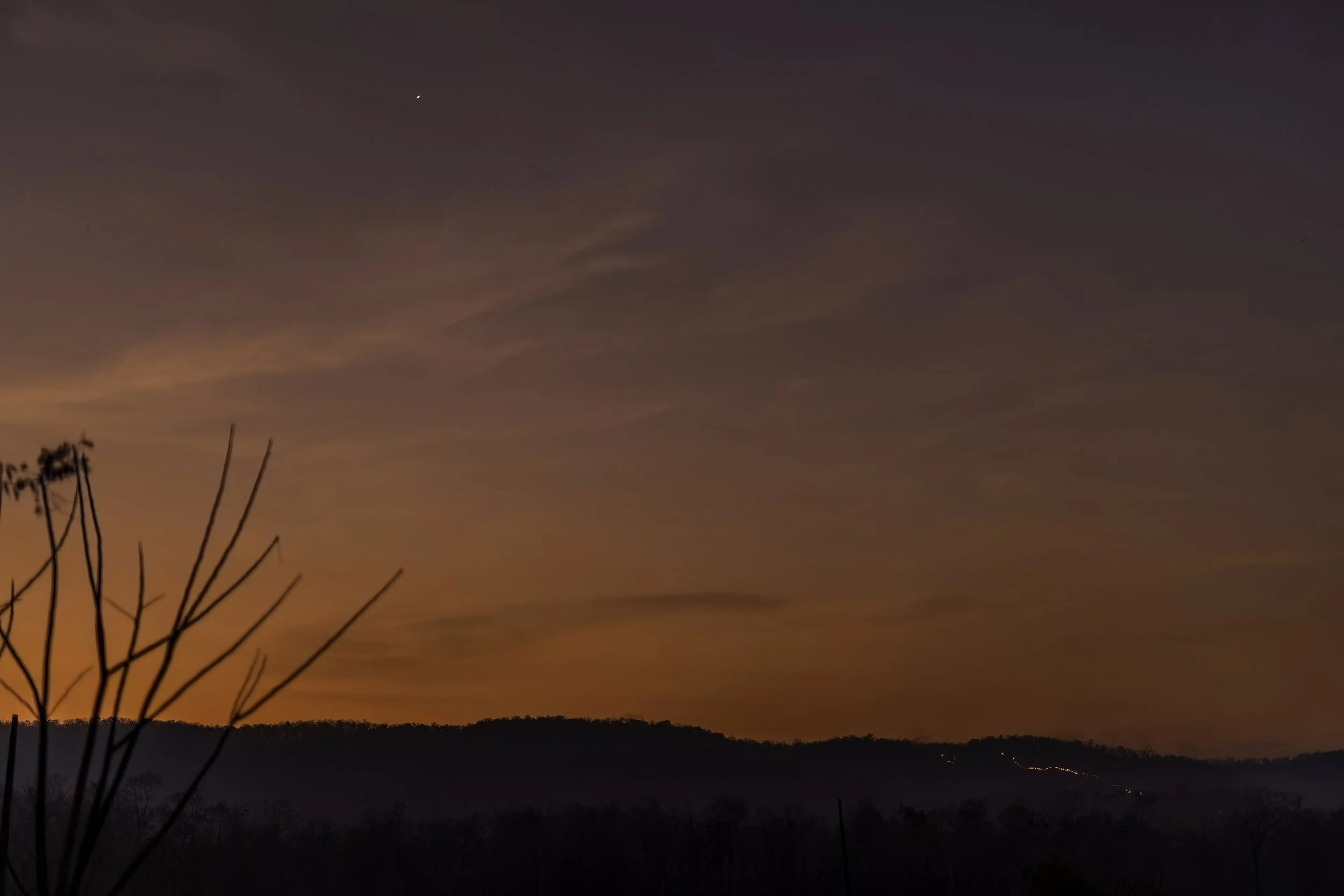
The character of a wild landscape helps define the sense of a place that differentiates one region from other regions. And it provides an image of the wildlife and people who inhabit it - a dynamic backdrop to their lives.

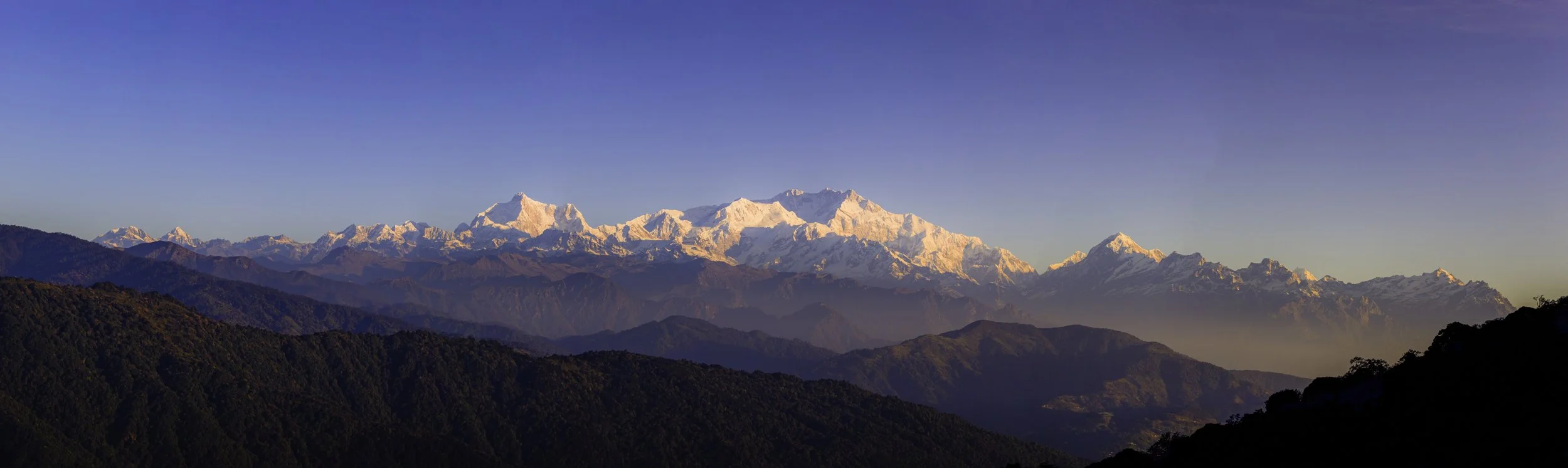
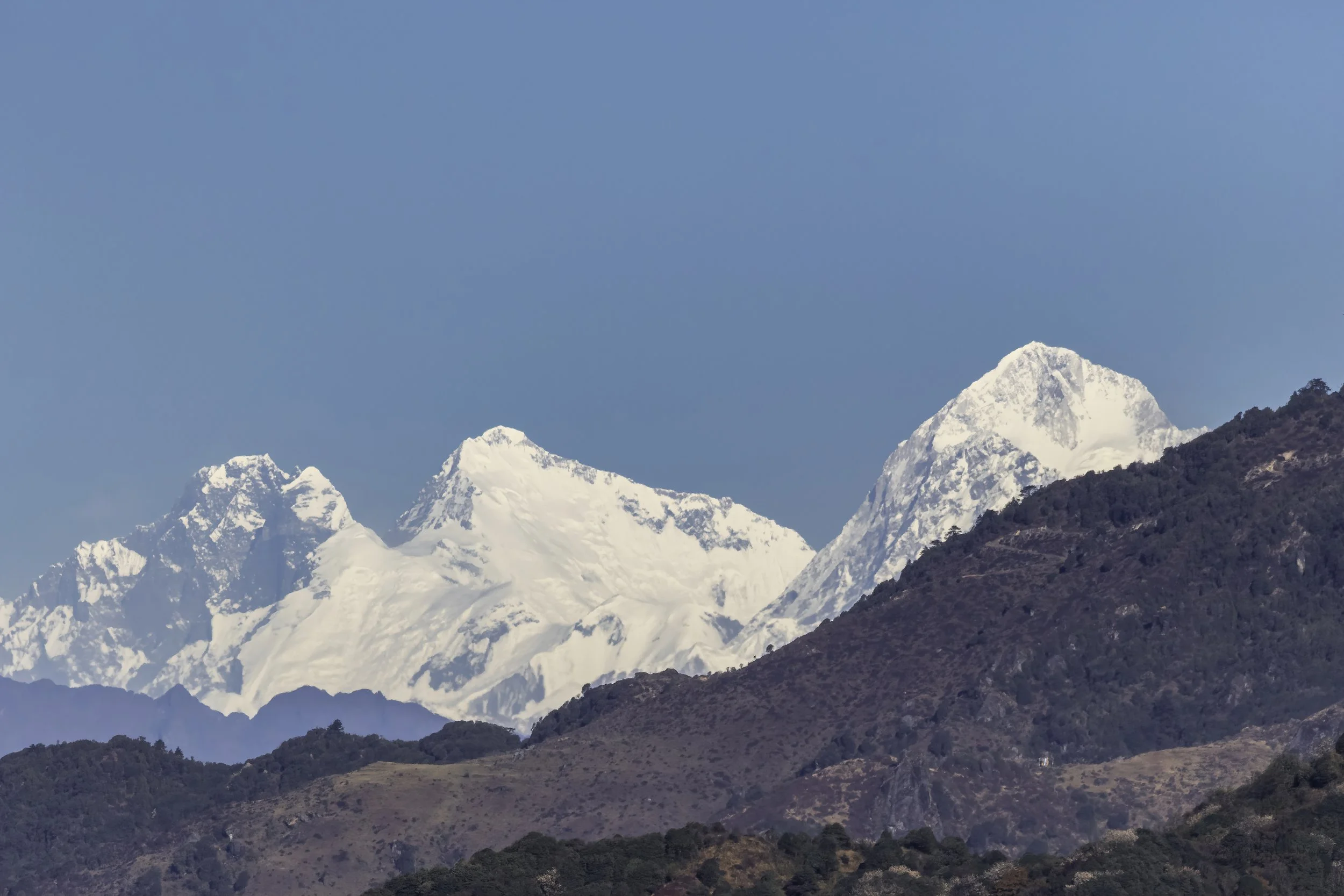
Kangchendzönga - 0506 hours, as the first faint glow touches Senjelungma, as she is revered by the Yakthung, at 28,169 feet and photographed from 10,000 feet - a single frame. The kit was the 1Dx Mark ii wearing the EF24-70mm f/4L IS USM Lens.
Seen here are the peaks which form the sleeping buddha. From left to right: Kumbhakarna & Kumbhakarna East in Nepal forming the nose & mouth; Rathong, Frey, Kabru South & North form the rise leading up to Kanchenjunga in the middle forming the belly sloping down to Goechla and then rising again to Simovo South & East and then peaking at Pandim.
Read more on the Blog and also watch the entire sequence of both Sunrise and Sunset timelapses.
Ananthagiri Hills and the Araku Valley
At a distance of 26 km from Araku, 85 km from Vizag & 660 km from Hyderabad, Ananthagiri is a lovely and tiny hill station between the city of Vizag and the Araku Valley. It is among the top hill stations in Andhra Pradesh apart from being a popular weekend getaway from Vizag city.
At an altitude of 1168 meters, Anantagiri is famous for extensive coffee plantations and numerous waterfalls. There is a view point on the way to Anantagiri on the main road that offers excellent views of the deep valleys on one side and coffee plantations on the other side.
Well known for their scenic beauty and charming weather the Ananthagiri Hills are a perfect gateway to spend some time in the lap of nature. It is a paradise for coffee lovers and nature enthusiasts as the village is surrounded by coffee estates that emit the rich aroma of coffee and the surrounding hillocks are home to cascading waterfalls that feed the lush greenery.
The famous Borra Caves are also in the near vicinity.
The way through the woods…
They shut the road through the woods
Seventy years ago.
Weather and rain have undone it again,
And now you would never know
There was once a road through the woods
Before they planted the trees.
It is underneath the coppice and heath,
And the thin anemones…~ Rudyard Kipling
Lake Mashū, Hokkaido
Lake Mashū, called Kamuy-to by the indigenous Ainu people, is an endorheic crater lake formed in the caldera of a potentially active volcano. It is located in the Akan Mashu National Park on the island of Hokkaido, Japan. It has been called the clearest lake in the world. Surrounded by steep crater walls 200 metres high it has no significant inlets and no outlet. The lake is one of the clearest in the world and one of the deepest in Japan. On August 1, 1931, the transparency of the water was measured at 41.6 metres (136 ft). Around the same time Lake Baikal was measured 40.5 metres (133 ft).
Dochula Pass, Bhutan
Mountains. Big Skies. Open Spaces. Whether it was the snow-capped peaks, the dense forests, whatever shape or form it took, the mountains have been the most enchanting place, more than anywhere else.
“Anyone who has been among mountains knows their indifference, has felt a brief, blazing sense of the world’s disinterest in us. In small measures, this feeling exhilarates. In full form, it annihilates.”
This quote perfectly elucidates my profound experience of feeling small and insignificant while I was standing at Dochu La facing these ancient mountains. It was a very spiritual feeling and actually brought me to (happy) tears. So my experience seems to fit with the first part of this quote - in small measures it exhilarates. But in full form, it annihilates.
Grasslands are natural carbon sinks and therefore crucial to the global carbon cycle due to their high rates of productivity, enhanced carbon sequestration rates & geographical extent keeping global temperatures more or less in balance. They are also breeding grounds for many migratory and endangered species like the Indian Grey Wolf of which only about 3,000 are left in the wild. It is a common response from people to think forests when green cover is mentioned but grasslands are of equal import. These open natural ecosystems urgently need attention and government initiatives for protection and conservation. In Telangana, grasslands are located in the districts of Vikarabad, Nizamabad, Khammam, Siddipet and Nalgonda. The wildlife in these fragile ecosystems today face numerous threats like hunting, spread of the canine distemper virus which affects foxes, wolves & several other species, rabies from feral dogs and most crucially, habitat loss.
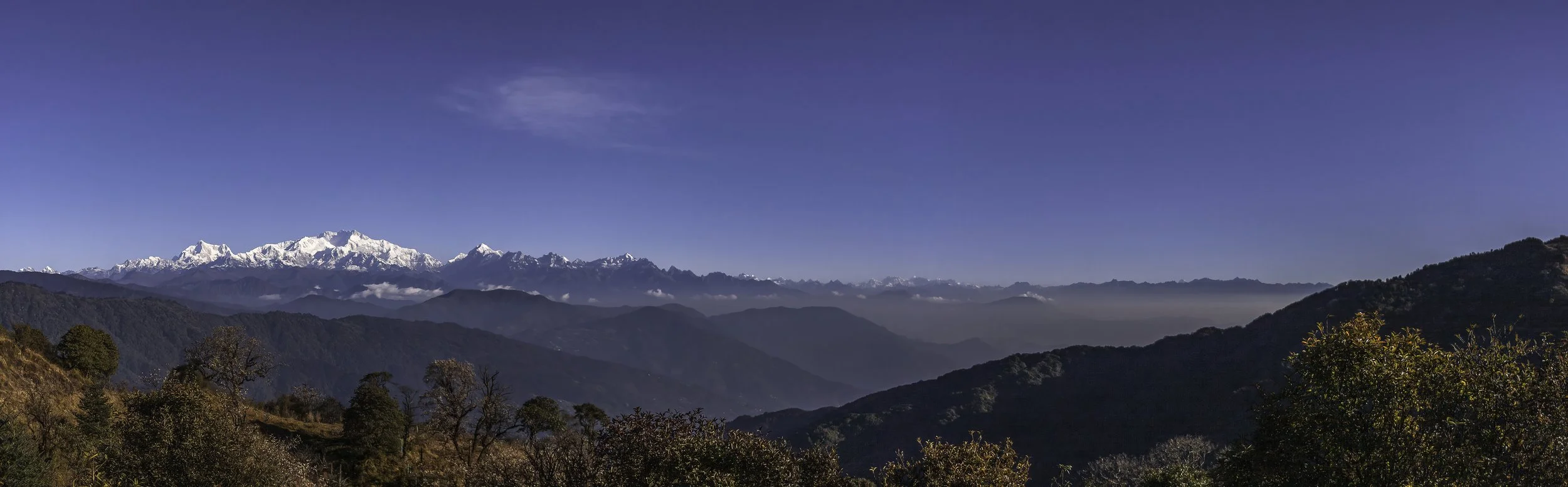
Kangchendzönga - 0541 hours, as the first faint glow touches Senjelungma, as she is revered by the Yakthung, at 28,169 feet and photographed from 10,000 feet - a single frame. The kit was the 1Dx Mark ii wearing the EF 70-200mm f/2.8L IS III USM Lens.
Seen here are the peaks which form the sleeping buddha. From left to right: Kumbhakarna & Kumbhakarna East in Nepal forming the nose & mouth; Rathong, Frey, Kabru South & North form the rise leading up to Kanchenjunga in the middle forming the belly sloping down to Gochasda and then rising again to Simovo South & East and then peaking at Pandim.
The panorama below is a stitched image from 69 individual hand held frames panning left to right and taken around 0629 hours as the sun came over the peaks and flooded into the valley below which was still covered in fog. The kit was the 7D Mark ii wearing the EF 70-200mm f/2.8L IS III USM Lens.
The final panorama below is a stitched image from 40 individual hand held frames panning left to right and taken around 0730 hours with the sun well up but still low in the sky & subdued. The kit was the 1D Mark iii wearing the EF16-35mm f/4L IS USM Lens.
‡‡‡‡‡
The photo above are the Everest Peaks
Left - Lhotse - 8516m
Center - Everest - 8849m
Right - Makalu - 8463m
These are among the 14 eight-thousanders - the highest peaks in the world - photographed on an exceptionally clear day from the Singalila National Park at 27°01'51.7"N 88°03'31.9"E on the border of India and Nepal.
The International Mountaineering and Climbing Federation (UIAA) recognises eight-thousanders as the 14 mountains that are more than 8,000 metres (26,247 ft) in height above sea level, and are considered to be sufficiently independent from neighbouring peaks. However, there is no precise definition of the criteria used to assess independence, and, since 2012, the UIAA has been involved in a process to consider whether the list should be expanded to 20 mountains. All eight-thousanders are located in the Himalayan and Karakoram mountain ranges in Asia, and their summits are in the death zone.
Everest is a triangular pyramid, with three main ridges and three main faces. The South Face is within Nepal, while the North Face (which actually faces north-west) and the East or Kangshung Face, are within occupied Tibet. From this angle clearly visible, are the Hillary Step, the South Summit and the Triangular Face with the Balcony below it.
The Hillary Step is a nearly vertical 12m (40 feet) high rock face located just below the summit of Everest at approximately 8,790 metres (28,839 ft) above sea level. The South Summit at 8,749 metres (28,704 ft) is a dome-shaped peak of snow and ice, and is connected to the summit of Mount Everest by the Cornice Traverse and Hillary Step. It is higher than the second-highest mountain on Earth, K2 (whose summit is 8,611 metres (28,251 ft) above sea level) but it is not considered a separate mountain as its prominence is only 11 meters. The Triangular Face is the path taken by climbers when climbing because it is safer to hike this path in the dark as there are less chances of the terrain changing and at night, the path does not melt or change drastically. This makes it easier to walk and trek on this path. This, however, does not hold true in the morning when the rays of the sun may melt the pathways and therefore force the hikers to take a different route or path.
The right horizon is the West Ridge - the border with Nepal. The left horizon is the Northeast Ridge, sometimes and incorrectly called, the North Ridge. Following the Northeast ridge down from the top, you reach a point where there seems to be a dent in the mountain side, at which point returning climbers turn down to the right (their left) along the spur that follows the junction between the light and shade. This is the North Ridge, which reaches a low point, the North Col before climbing up to the top of Changtse. It is from the North Col that climbers climb the mountain from this side and it is where 'Camp 1' is located. The third ridge, out of sight on the far side, connects Everest to Lhotse (which you can see to the left of Everest). The low point on this ridge is called the South Col, from which climbers on the Nepalese side climb to the top.
7D Mark ii + EF100-400mm f/4.5-5.6L IS II USM at f/5.6 and 400mm
Bhigwan, a quaint, small and rugged town on the border of the Pune and Solapur districts in Maharashtra, in India. During its mild winters, Bhigwan and its surrounding areas become the home of countless migratory birds making it the “Bharatpur of Maharashtra”, India. The area around Bhigwan and the River Bhima is vast and unique with diverse habitats ranging from the shallow wetland ecosystem of the Ujni backwaters to the surrounding rich farmlands and dry deciduous scrub forest with interspersed grasslands.
Singalila National Park, West Bengal
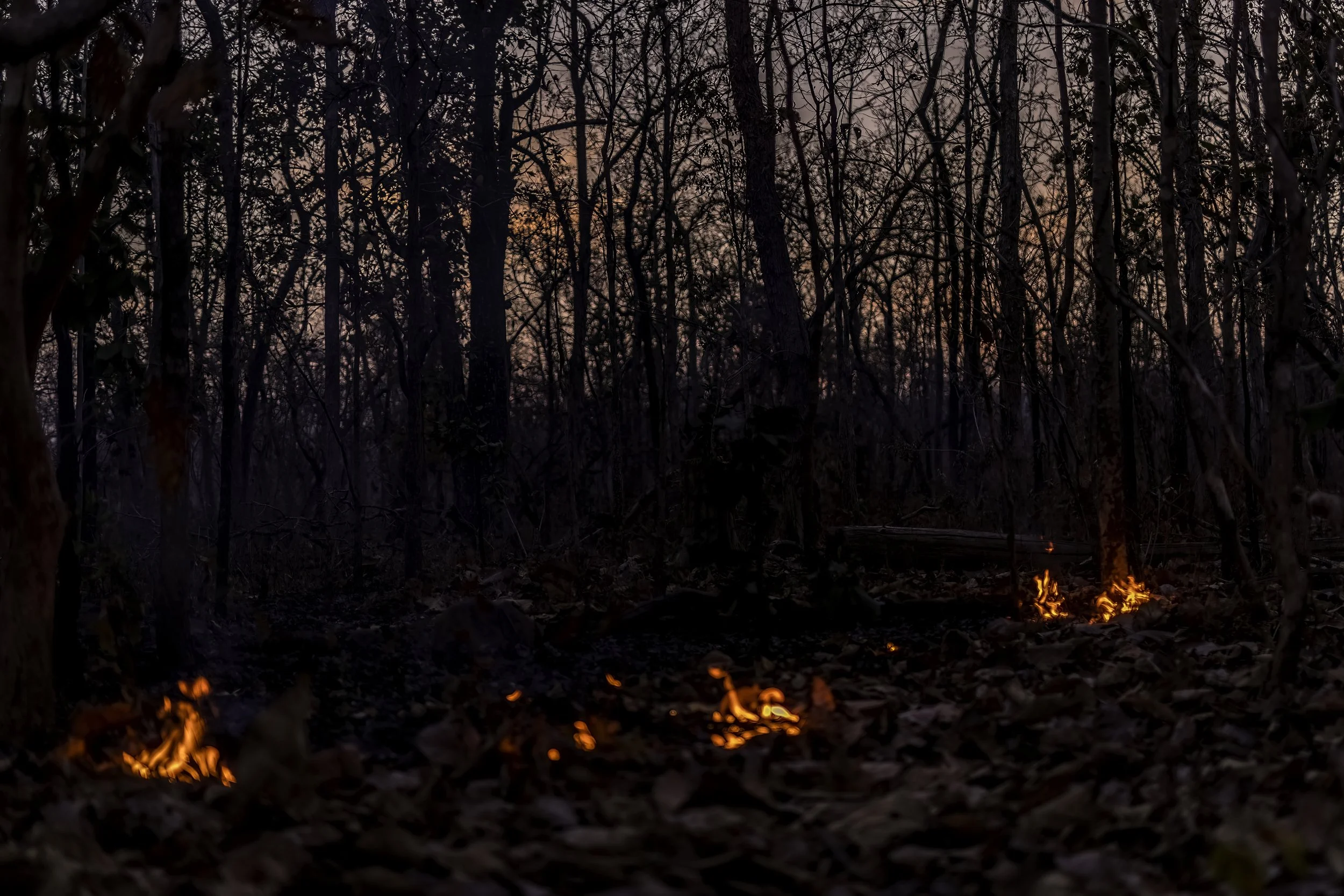
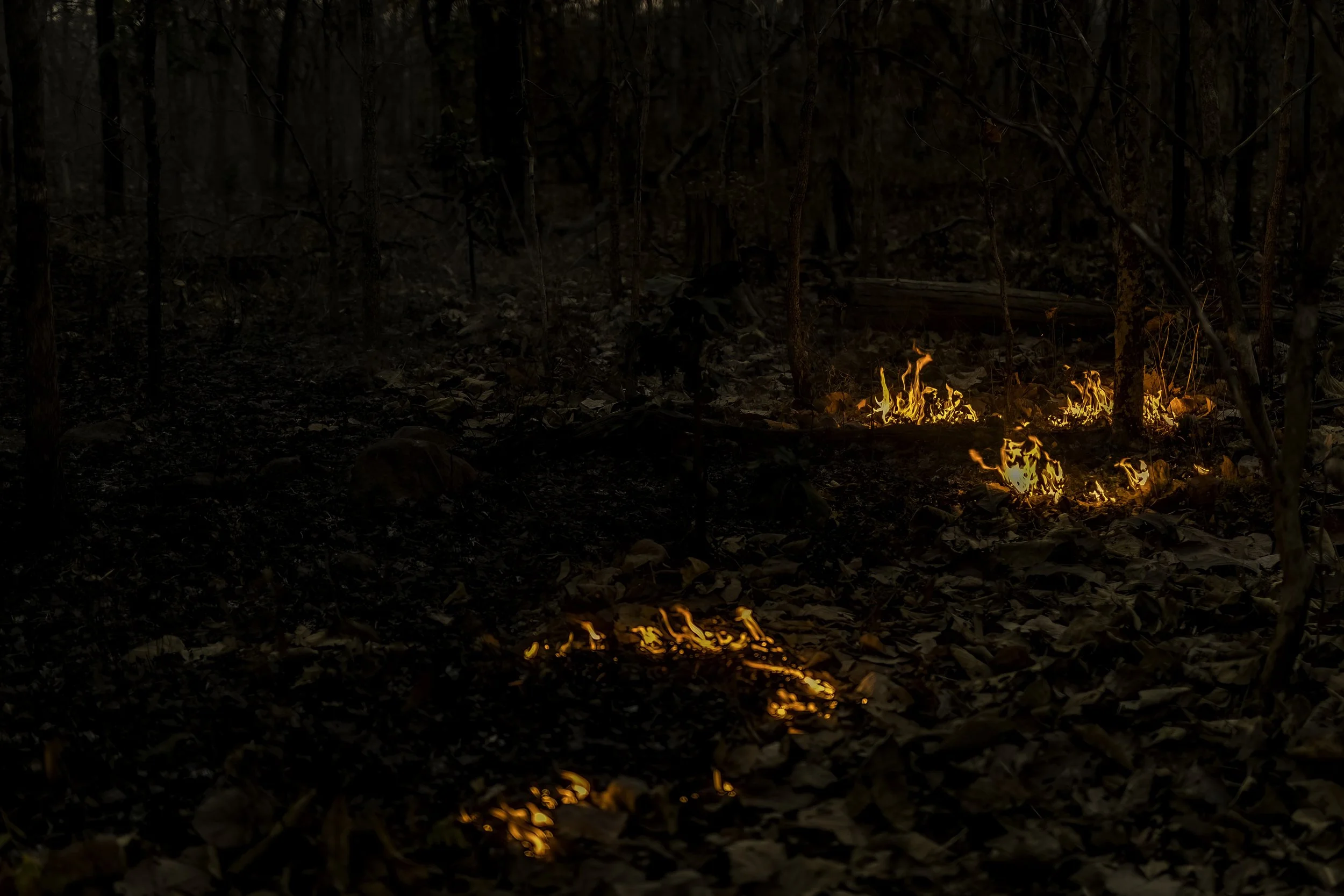
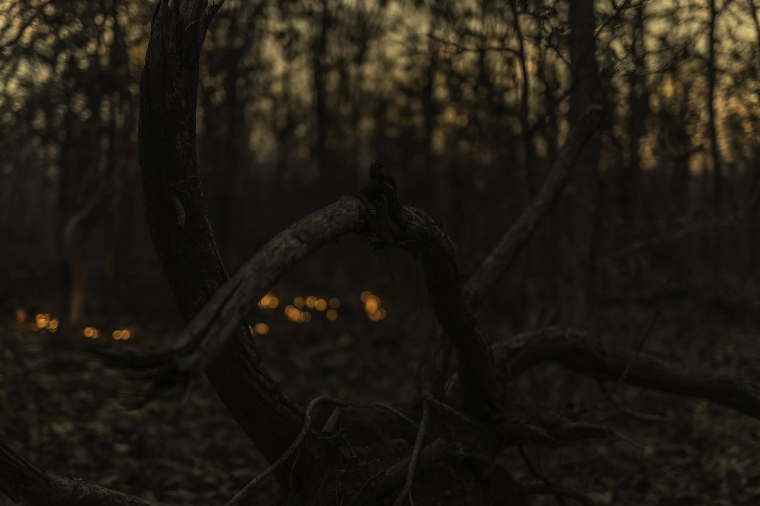
Dawn at Kabini
On a golden morning in the lush forests of Kabini we went out looking for a panther.
This is the forest primeval. The murmuring pines and the hemlocks,
Bearded with moss, and in garments green, indistinct in the twilight,
Stand like Druids of old, with voices sad and prophetic,
Stand like harpers hoar, with beards that rest on their bosoms.~ Henry Wadsworth Longfellow
The Golden Setsuri - 0518 hours, fingers and feet frozen but not cold enough for the mist...
The snows of Hokkaido ~ Akan Crane Center
“Free is all you’ve got to be, dream dreams no one else can see
Sometimes you want to run away, but you never know what might be coming round your way
On a day like today, the whole world could change
The sun is going to shine, shine through the snow
On a day like today, you never want to see the sun go down!”
Kunashiri Island (Kunashiri-tō), possibly meaning Black Island or Grass Island in Ainu, is the southernmost island of the Kuril Islands archipelago. The island is currently under Russian control, though Japan also claims the island.
It lies between the straits of Kunashiri Island, Catherine, Izmena, and South Kuril. Kunashiri Island is visible from the nearby Japanese island of Hokkaido, from which it is separated by the Nemuro Strait.
Kunashiri Island is formed by four volcanoes which were separate islands but have since joined together by low-lying areas with lakes and hot springs. All these volcanoes are still active: Tyatya (1,819 m (5,968 ft), Smirnov, Mendeleev (Rausu-yama), and Golovnin (Tomari-yama) pictured above.
Kunashiri Island (Kunashiri-tō), possibly meaning Black Island or Grass Island in Ainu, is the southernmost island of the Kuril Islands archipelago. The island is currently under Russian control, though Japan also claims the island.
It lies between the straits of Kunashiri Island, Catherine, Izmena, and South Kuril. Kunashiri Island is visible from the nearby Japanese island of Hokkaido, from which it is separated by the Nemuro Strait.
Kunashiri Island is formed by four volcanoes which were separate islands but have since joined together by low-lying areas with lakes and hot springs. All these volcanoes are still active: Tyatya (1,819 m (5,968 ft), Smirnov, Mendeleev (Rausu-yama), and Golovnin (Tomari-yama) pictured above taken as the sun was setting.
Visible on the right is the mountain and the giant caldera partially covered by a lake.
Steam rising from the hot springs of Mount Iō (Shiretoko)
Mount Iō (Iō-zan) also known as Mount Iwo is an active andesitic stratovolcano on the Shiretoko Peninsula of Hokkaidō, Japan. It sits within the borders of the town of Shari. Mount Iō is known for erupting liquid sulphur in the eruptions of 1889 and 1936. Mount Iō literally means, sulphur mountain. A different volcano with a similar name, in SW Japan erupted in April 2018. Volcanic activity at Mount Iō started at least 240,000 years ago.
Shiretoko-Iozan, one of many Japanese "sulphur mountains," is noted for the extrusion of molten sulphur during eruptions in 1889 and 1936. Located at the NE tip of Hokkaido on the Shiretoko Peninsula, the andesitic volcano contains two large craters at the summit that are breached to the NW. The southern crater contains a small flat-topped lava dome. The main cone, Nakadake, was constructed NW of the headwalls of the two breached craters. Historical eruptions have originated from the southernmost of three explosion craters along a NNE-SSW line on the NW flank of the main cone.
The mountain was called "naked mountain" by the local Ainu people, the brownish-red mountain covered by the white steam boasts over 1,500 large and small volcanic craters. The smell of sulphur is spread around the area, creating a special atmosphere. You can see alpine trees like Lingonberry at the 150 m height lowland in Iozan. The mountain changes appearances with the seasons; in winter, the mountain is covered with snow but the steam from the craters does not stop. From June till July, the mountain is covered with azaleas. Pure white Azaleas that don’t grow with other plants is such a precious view.
This volcano is located within the Shiretoko National Park, a UNESCO World Heritage property.

Nakashibetsu-Cho, Shibetsu-Gun - Minaminaka, Hokkaido

The lone crow - Sea of Okhotsk, Rausu

Breaking Dawn on the Drift Ice, Rausu

Drift Ice - Sea of Okhotsk, Rausu
The lone tree - Abashiri, Hokkaido
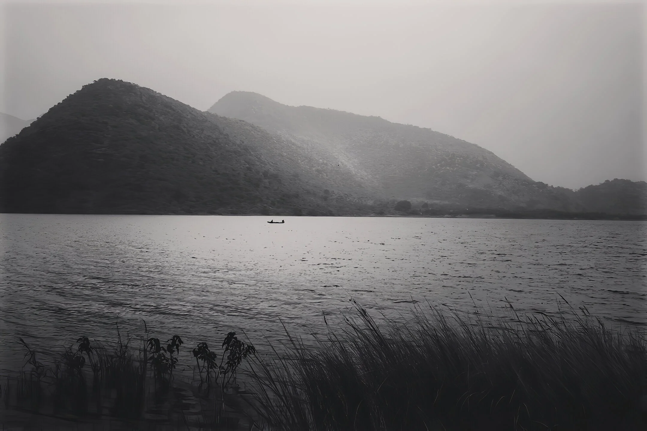
The serendipity of Tatipudi - Tatipudi Reservoir
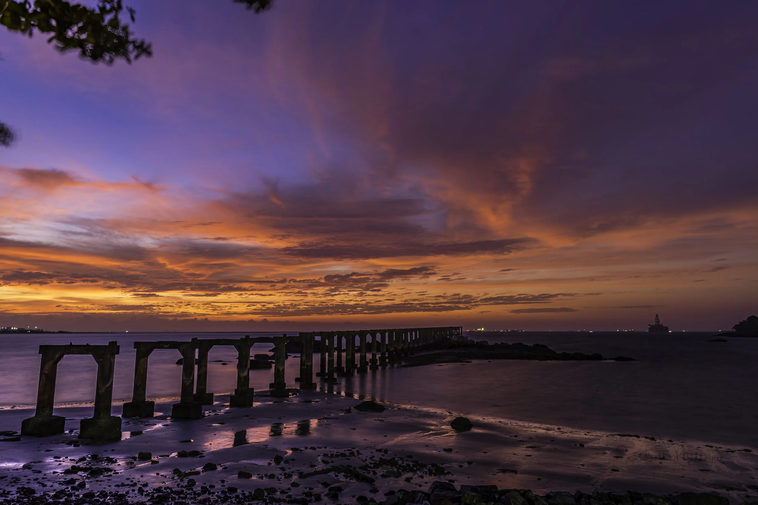
Blue Hour at the ruins of Sungai Rengit jetty
Sungai Rengit is the town centre of Pengerang, Kota Tinggi District, Johor, Malaysia. It is essentially a collection of fishing villages and is very popular with seafood lovers. The town usually comes alive during its weekend flea markets. There are also regular Chinese opera performances which liven up the atmosphere for the local population.
There is a World War 2 - era fortress built into a hill overlooking the coast. It is built by the British and housed a complex tunnel system, including generators, a hospital and living quarters for the soldiers based there.
The Great White Desert of Kutch - At Sunset
The Great Rann of Kutch is a salt marsh located in the Thar Desert in the Kutch District of Gujarat, India. It is about 7,505.22 square kilometres (2,897.78 sq mi) in size and is reputed to be one of the largest salt deserts in the world. This area has been inhabited by the Kutchi people and the name "Rann" comes from the Hindi word ran (रण) meaning "desert". The Hindi word in turn is derived from Sanskrit/Vedic word iriṇa (इरिण) attested in the Rigveda and Mahabharata. The Great Rann of Kutch, along with the Little Rann of Kutch and the Banni grasslands on its southern edge, is situated in the district of Kutch and comprises some 30,000 square kilometres (10,000 sq mi) between the Gulf of Kutch and the mouth of the Indus River in southern Pakistan. The marsh can be accessed from the village of Kharaghoda in Surendranagar District.

Mud Puddling - Kaeng Krachan National Park, Thailand

The Winding Road - Doi Ang Khang, Chiang Mai, Thailand

Woods - Hokkaido, Japan

Winter landscape - Hokkaido

Mae Sa Waterfall (Nam tok Mae Sa) Doi Suthep-Pui National Park, Chiang Mai, Thailand
Through the fog of dawn - Doi Mae Tho (Thai: ดอยแม่โถ), also known as Doi Langka Luang (ดอยลังกาหลวง) or Doi Lang Ka (ดอยลังกา), is a mountain in Thailand, part of the Khun Tan Range. The mountain rises southwest of Wiang Pa Pao District, Chiang Rai Province, near the point where the province meets with Chiang Mai and Lampang Provinces. With a height of 2,031 metres, it is the highest point of the Khun Tan Range. Its summit is less than eight kilometres southeast of Route 118 between Chiang Mai and Chiang Rai.